The Dutch Colony of New Netherland
Since 1609 when Henry Hudson first navigated the river that would bear his name, the Dutch were very interested in this New World. The first Dutch settlers arrived in 1614 and settled at Fort Nassau (located near the Port of Albany). These settlers primarily traded furs with the local Native Americans. A more permanent location would be established at Fort Orange (modern day Albany) in 1624. Soon after, in 1626 the Dutch would establish a second village at New Amsterdam (modern day New York City).
William Kieft became governor of New Netherlands in 1638. Kieft angered the local Native Americans by attacking them without cause, and provoked a war in 1643 that would last 2 years. Under protest from the inhabitants of New Netherland, Kieft was recalled, and Pieter Stuyvesant was sent over as Director General in 1647.
Stuyvesant oversaw dramatic growth in the colonies. Trade flourished, and new settlers emigrated from various parts of the Dutch Empire. During Stuyvesant’s administration, he both expanded the borders of New Netherlands, and brokered peace with the English in Connecticut. In 1664, three English ships sailed into the New York Harbor and demanded the surrender of the colony. Stuyvesant wanted to fight, but after pleas by the townsfolk to surrender, he surrendered the fort without any bloodshed.
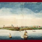
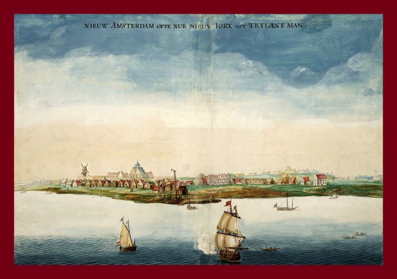
Image: Gezicht op Nieuw Amsterdam [View of New Amsterdam] by Johannes Vingboons 1664, an early picture of Nieuw Amsterdam made in the year when it was conquered by the English under Richard Nicolls, via Wikimedia Commons.
The Village of Wiltwyck and the Stockade
Imagine, you have stepped back in time. The year is 1658. All around you are trees, fields, streams, and the sawing of logs as the new stockade fence goes up around Wiltwyck. You are one of the first settlers to live in the new village of Wiltwyck. What has brought you to this point, and what will happen in the next seven years?
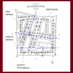
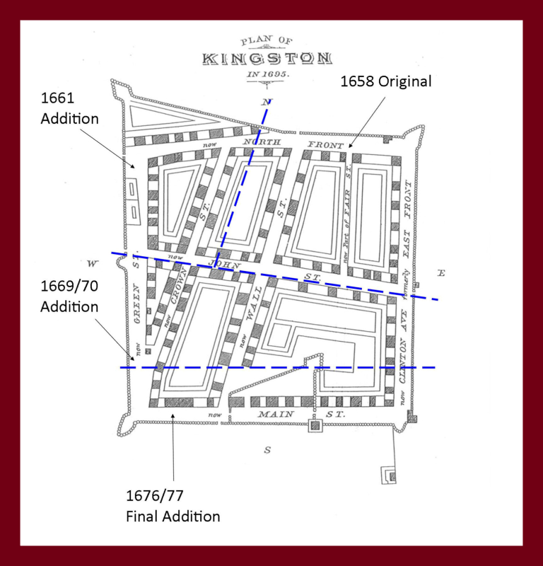
The first settlers lived along the Rondout Creek on separate farms. After some unrest with the local Native Americans, the Director General of the New Netherland Colony, Peter Stuyvesant, ordered them to demolish their separate dwellings and to congregate on a spot that was what we now call Uptown Kingston. The stockade originally extended from North Front Street to Clinton Avenue, to John Street and almost to Green Street. The settlers constructed the stockade, as well as their new houses within the walls.
The next significant event that would occur was in 1661 when Peter Stuyvesant granted Wiltwyck a court of justice. This was very important because now cases could be tried in Wiltwyck, and this decision legitimized and gave the village equal standing with communities in Albany and New York City. With each year that passed, the village continued to grow. By 1661 an expansion would be added to the stockade which would nearly double the original size.
By 1663, tensions would again arise with the local Native Americans leading to the Second Esopus War. The war ended in 1663 after exacting a toll on both sides. In 1664, the English sailed into New York Harbor and demanded the surrender of New Netherlands from Peter Stuyvesant. The English soldiers aboard took over New Amsterdam (New York City), and then worked their way up the Hudson River, which included a stop at Wiltwyck. Wiltwyck then passed from Dutch to English control. With the new change in leadership came a new name. Wiltwyck now became Kingston. The inhabitants would continue to carve out a living in the New World, and overcome challenges, many of which involving their new English neighbors.
Image: Miller Map of Kingston Stockade Area in 1695 as Designated by Governor Petrus Stuyvesant, Documents Relative to the Colonial History of New York State, Volume XIII.

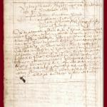
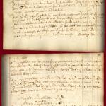
Bond to Build the Palisades, May 31, 1658
In this document, the Director General of the New Netherland colony, Pieter Stuyvesant orders the inhabitants of the Esopus to demolish their old homes, and to build a stockade, where their new homes will be located.
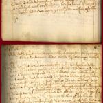
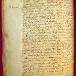
The Court Opens, July 12, 1661
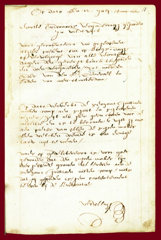
This is the first court session at Wiltwyck (later renamed Kingston). At this meeting, the court decides when to meet, and their first order of business concerns grain for the military.
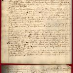
Settlers Move From Manhattan to Wiltwyck, November 16, 1661
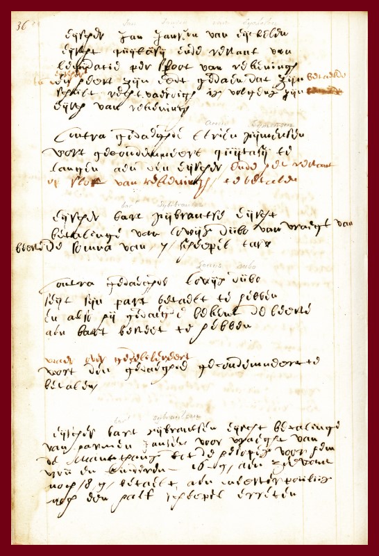
In this document we find that Bart Sybrantsen has transported Harmen Jansen and his family from the Manethans (Manhattan) to the Hesopes (Wiltwyck), and is demanding payment.
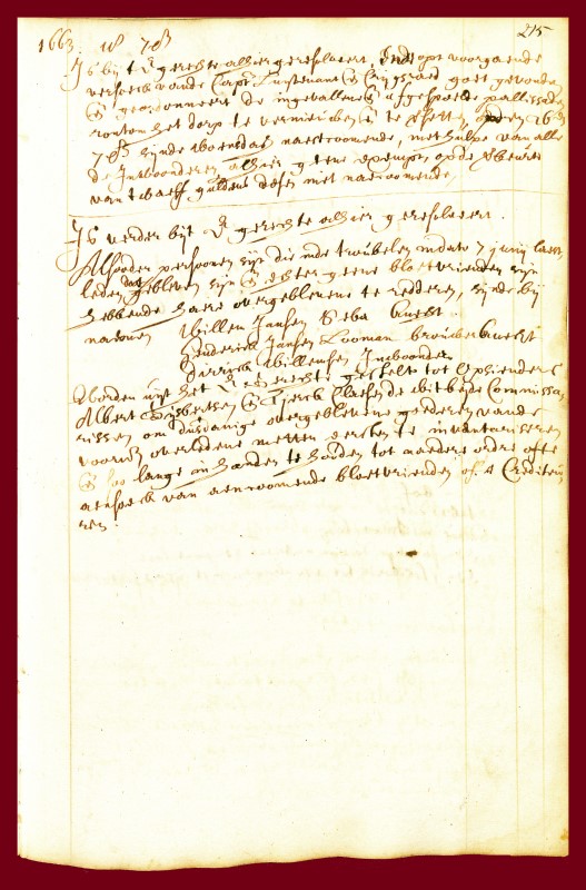
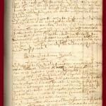
The Esopus War, September 18, 1663
Following the Second Esopus War, which had occurred in June of 1663, Wiltwyck had a few matters to settle. The first was to fix the damaged palisades (the wooden posts that made up the stockade), and the second was that the individuals who were killed who left no heirs, the court would administer their estates.
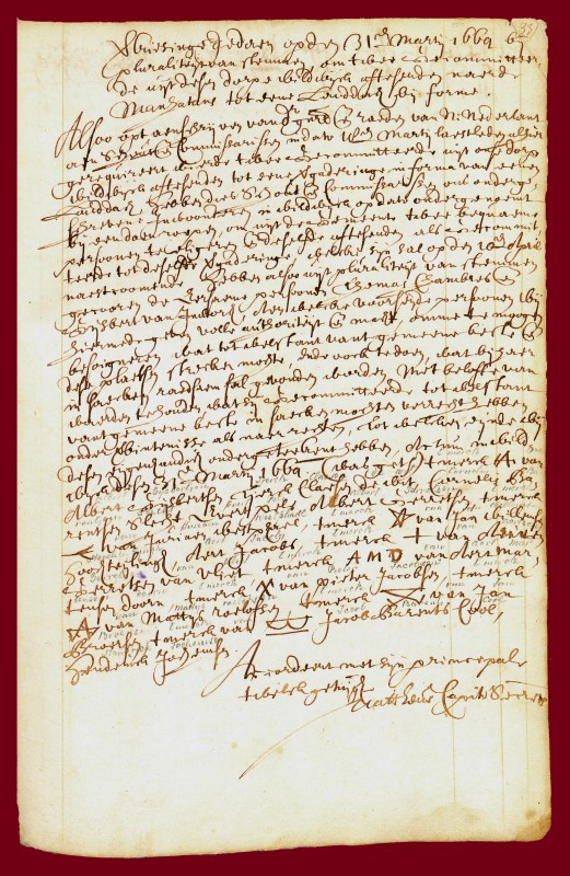
Election of Delegates for a Council of New Netherland, March 31, 1664
There was to be a gathering of delegates in New Amsterdam (New York City) and all the Dutch towns were to send two representatives. From Wiltwyck were chosen Thomas Chambers and Gysbert Van Imbroch.
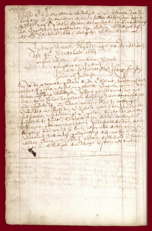
The English Arrive, September 1, 1664
On August 27, 1664 three English frigates had sailed into New Amsterdam harbor, and demanded the surrender of New Netherlands. In this document, the residents of Wiltwyck are reacting to rumors of an English invasion, and are discussing plans.
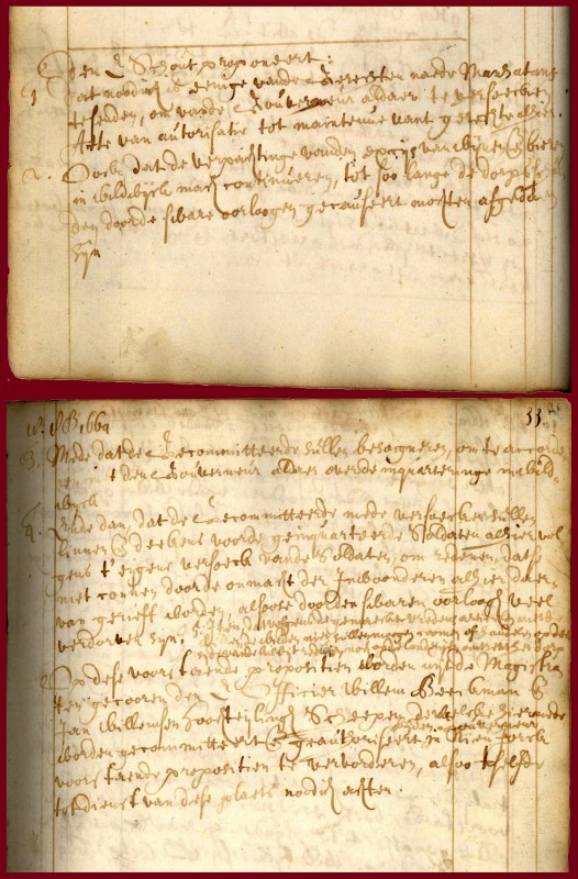
Request of the New English Governor, October 18, 1664
The Schout (who was part magistrate, part district attorney, and part sheriff) has made various requests of the new English governor of New York. Most of the questions pertain to the administration of the village, which is now under English control.
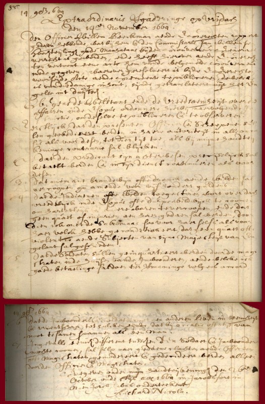
English Charter for the Esopus, November 14, 1664
The Schout, Willem Beeckman, reports back to the court on the new charter given to the Esopus by the English governor Richard Nichols. The responses in this charter are drawn directly from the Schout’s questions in the last document.
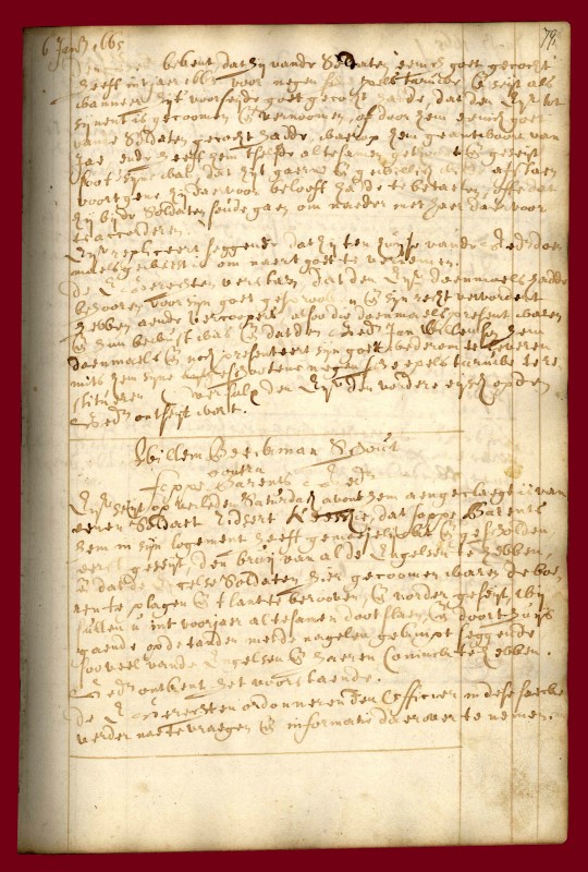
Trouble with the English, January 6, 1665
All was not well with the Dutch and their “new” English neighbors. There were still hard feelings, and animosity between the two groups. In this case, Foppe Barents has made some unkind remarks about the English and their King.
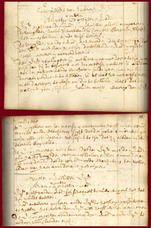
The Barber-Surgeon Demands His Fee, January 20, 1665
In Dutch, and early English New York, there was an individual called a barber-surgeon. He could not only cut hair, but he also had some medical training (less though than a physician). In this document, Gysbert Van Imbroch (the local barber-surgeon and early resident of the Persen House) is looking for payment from one of his patients, Annetje Mattysen.
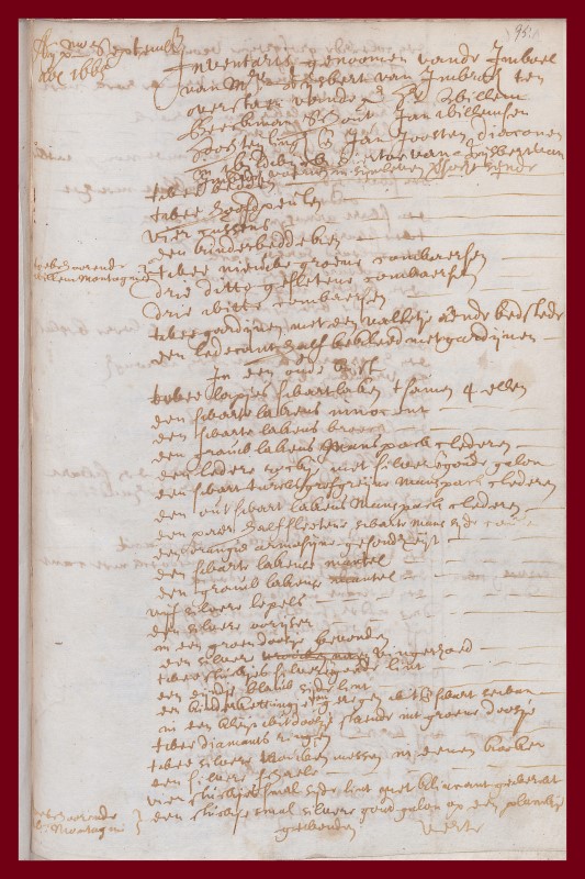
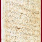
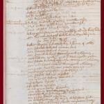
Inventory of the Estate of Gysbert Van Imbroch, September 2, 1665
Gysbert Van Imbroch and his family were the first residents of the house that would later be called the Matthewis Persen House in Kingston, New York. On display is page 1 of his inventory. His list of possessions stretches onto 11 pages!
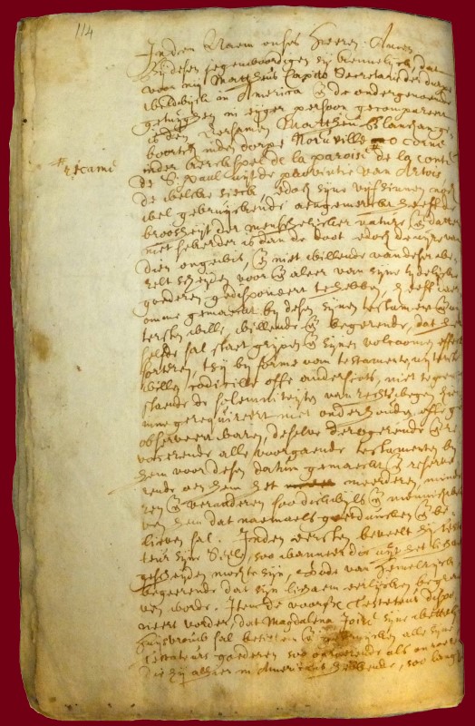
Last Will and Testament of Mattheu Blanchan, September 17, 1665
In the last will and testament of Mattheu Blanchan we find him giving information on where he was born in France, his family members, and what should be done with his effects. Through wills, we see what people valued, and what family members were preferred for cherished items.
